
Cascades to Coast Analysis
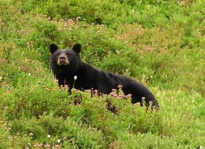
Black bear in Olympic National Park. Credit: National Park Service
The westernmost and wettest landscape in our state lies in the heavily forested region encompassing the Olympic mountains and coastline, Puget Sound, and the gentler Willapa Hills. The rainforests are home to Roosevelt Elk as well as black bear, black-tailed deer, cougar, marten, fisher, northern flying squirrel, and the northern spotted owl. The region’s wetlands offer habitats for a wealth of species including the trumpeter swan, Van Dyke’s salamander, the Olympic mudminnow, and the Makah copper butterfly.
In 2010, our statewide analysis identified a need for a closer look at this landscape extending from the Southern Cascades (from approximately Mount Rainier to the Columbia River), through southwestern Washington, and into the Olympic Peninsula due to patterns that emerged for several species in this landscape and the limitations of the broad-scale spatial data required for the regional analysis. More detailed finer-scale analyses are necessary to prioritize and inform actions to maintain and restore habitat connectivity in this region. Click here to view a map of this region.
Our working group has held meetings with land managers, owners of working forest-lands and other stakeholders in this region to discuss the considerations and possible uses of further habitat connectivity analyses and tools in this region. Currently, members of our working group are engaged in a Landscape Conservation Design effort for the Pacific Northwest Coast Landscape initiated by the North Pacific Landscape Conservation Cooperative that includes an effort to specifically analyze habitat connectivity in the coastal regions of Oregon and Washington. This effort is mapping connectivity for the following focal species: American beaver, cougar, fisher, mountain beaver, and western gray squirrel.
Washington Connected Landscapes Project: Cascades to Coast Analysis
May 23, 2024: Washington Connected Landscapes: Cascades to Coast Habitat Connectivity Analysis report available
Washington Connected Landscapes Project: Cascades to Coast Habitat Connectivity Analysis
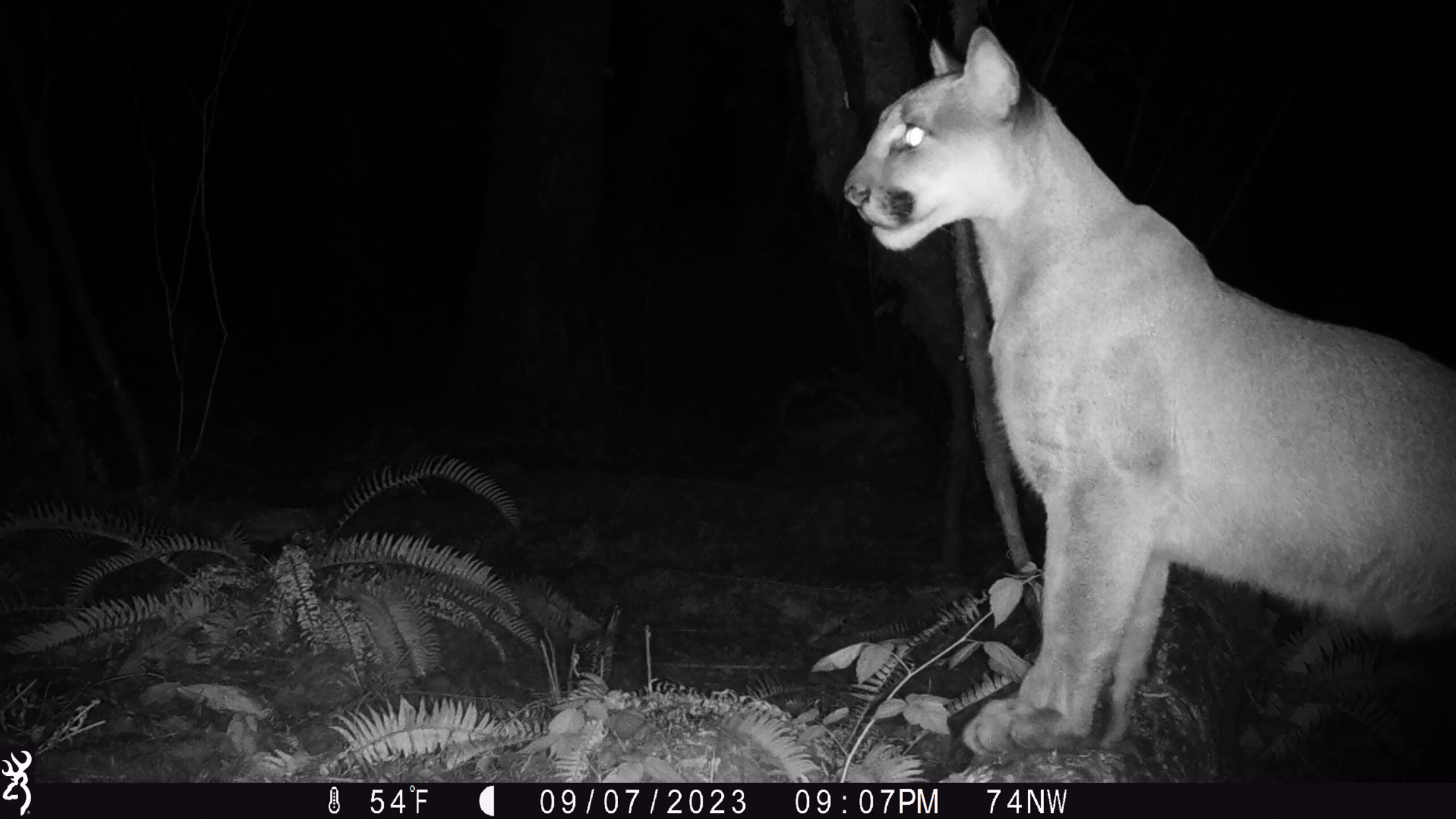
A cougar within the Northern Linkage Zone looks towards Interstate 5, the busiest highway in Washington State, from less than 100 ft away. Credit: Olympic Cougar Project/WSDOT
To inform the approach to the analysis in the Cascades to Coast region, Conservation Biology Institute and US Fish and Wildlife Service led an effort with contributions from Washington Wildlife Habitat Connectivity Working Group members to explore potential methods for assessing habitat connectivity patterns in southwest Washington. The specific question was whether focal species assessments for the coastal WA connectivity project should use Omniscape (i.e. Omnidirectional Circuitscape) or Linkage Mapper or a combination of the two? Through the process to answer this question, a high quality suite of naturalness-based modeling connectivity products were developed that can be used in real-world decision making. These are provided as interactive maps in a Data Basin Gallery, with the data also being available on Science Base.
Gallo, J.A., E.C. Butts, T.A. Miewald, K.A. Foster. 2019. Comparing and Combining Omniscape and Linkage Mapper Connectivity Analyses in Western Washington. Published by: Conservation Biology Institute. Corvallis, OR, https://doi.org/10.6084/m9.figshare.8120924